As the world’s climate heats up, many states in the western United States are experiencing increasingly larger and more devastating wildfires, along with a corresponding increase in dangerous air quality from wildfire smoke. A team of engineers at The Aerospace Corporation recently took to the skies to capture valuable data related to the environmental and atmospheric effects of these wildfires and the smoke they generate.
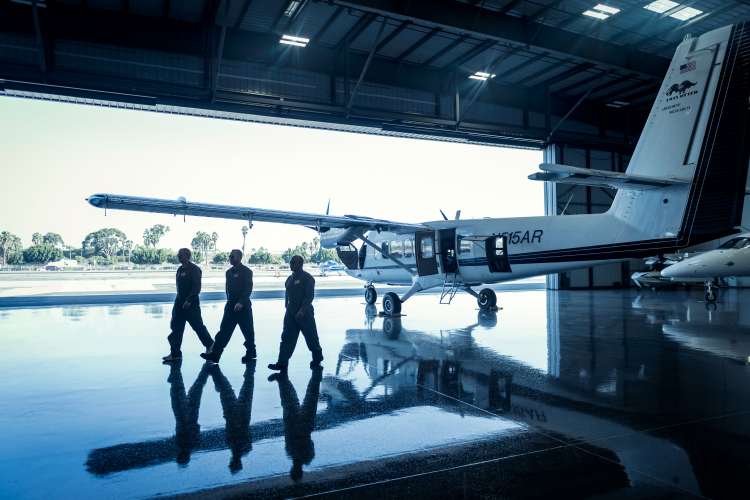
Conducted in late September, the FIRESTORM 2020 mission involved the flight of a Twin Otter Aircraft at altitudes of 12,500 – 17,500 ft above the Creek Fire burning east of Fresno, Calif. now recognized as the largest fire in the state’s history. Aerospace’s renowned Mid-infrared Airborne Hyperspectral Imager (MAHI) and Mako sensors were on board the craft, providing infrared hyperspectral imaging capabilities to detect and identify gases resulting from widespread wildfires, and analyze the movement and effects of these gases on the environment.
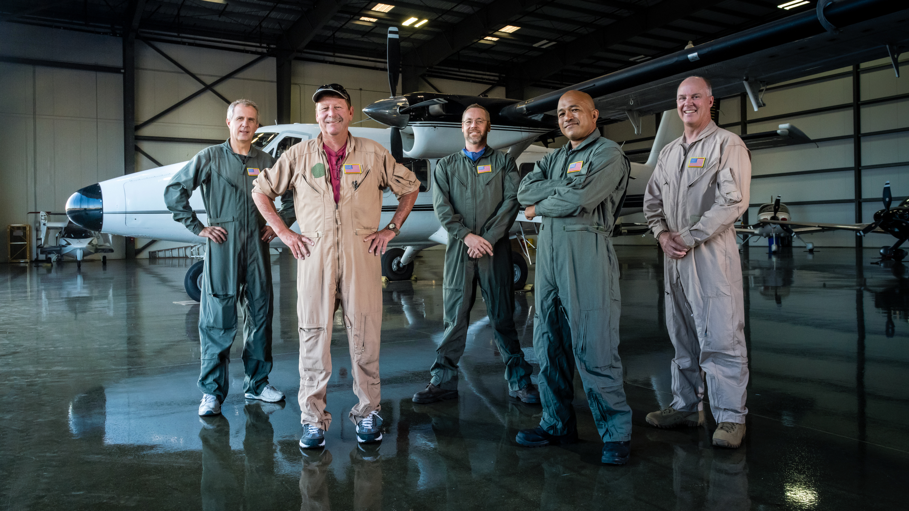
“There are a lot of fires this year. A lot more in California than in previous years, and larger fires,” said Dr. Eric Keim, Associate Director of Aerospace’s Imaging Spectroscopy Department. “We’re trying to help characterize the emissions from these fires that are of interest to scientists about the impacts of these fires on humans.”
It should be noted that airborne infrared hyperspectral imaging is a technology used to support national security and intelligence community applications, typically involving a sensor being flown over an area to collect data on the thermal infrared radiation (i.e., heat) that is emitted by the land and atmosphere below. While the Department of Defense routinely uses this capability to spot ground-based vehicles, Aerospace was instrumental in expanding airborne infrared hyperspectral imaging capabilities into Earth science applications, such as mineral mapping, global warming studies, and crop health analysis.
How Infrared Hyperspectral Imaging Works
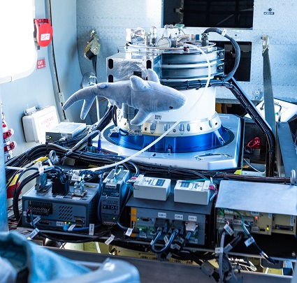
The MAHI/Mako sensors share similar functionality with digital cameras, in that they capture images comprised of rows of pixels, however, their similarity to consumer-level digital cameras ends there. While digital camera pixels can only register colors (i.e., “channels”) of red, green and blue, Mako sensor pixels can capture spectral information on the order of 128 channels, while MAHI sensor pixels can capture 640. Given that different chemical compounds absorb different wavelengths of light, the two sensors can provide infrared information that can reveal variations in color intensity that provide the visual signatures unique to specific gases.
“Where most hyperspectral sensors are visible, near-infrared, we’re in portions of the chromatic spectrum that most people do not sense in,” says Pat Johnson, Senior Engineer of Aerospace’s Imaging Products Department. “So (MAHI/Mako) are state-of-the-art, as far as instruments go.”

Last summer, Aerospace engineers initiated a hardware redesign for both sensors, which included a redesign of the lens enclosure and sensor cooling mechanism. In addition, the mount used to attach the sensors to the aircraft was updated to allow for three-axis stabilization (i.e., roll, yaw and pitch) allowing for the capture of smoother, crisper images that are unaffected by flight turbulence. Electronics were also updated, to increase reliability and reduce the likelihood of optical artifacts.
“Right now, nothing approaches (MAHI/Mako’s) combination of sensitivity and area coverage that anyone else is flying,” Keim said. “Aerospace has instruments that nobody else has, in terms of the capability for large areas, survey and the sensitivity for the gases that we’re trying to detect.”
FIRESTORM Mission Leveraged Evolved Sensor and Data Analysis
Likewise, data collection and analysis tools were similarly updated and tailored to meet the needs of the mission, which now presented an exceptionally large area of coverage due to the unprecedented severity and range of the wildfires. While carbon monoxide and nitrous oxide were readily observed during the mission, the FIRESTORM 2020 mission also identified preliminary “exotic” materials in the hyperspectral data, such as formaldehyde, acetaldehyde, benzaldehyde and acrolein, among others.

“Chemicals that we measure, some of them are dangerous to humans, and some of them are precursors to other chemicals that impact human health,” said Dr. Katherine M. Saad, Senior Member of the Technical Staff for Aerospace’s Data Analytics Department. “What we are able to provide are quantities that can be used by regulatory folks or scientists that are concerned with exposure.”
Recent and increasingly frequent natural disaster events in the U.S. and the world at large have underscored the importance of Earth system science to environmental protection, public health and national security. As always, Aerospace is committed to applying its state-of-the-art resources to these objectives for the greater good. The FIRESTORM 2020 mission was a successful application of Aerospace’s technology for a new purpose of quantifying fire-related toxins.
“Fires are having more and more of an impact on our environment and our living conditions,” Keim said. “The more we can characterize them, the more we can understand how bad they are, and how much we need to do to mitigate them.”


