
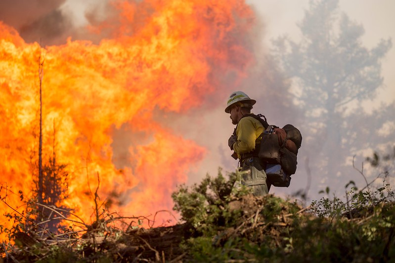
In 2021, more than 2.5 million acres burned due to California’s wildfires—aggravated by drought and intensified temperatures. The estimated economic loss was between $70 billion and $90 billion in the United States, with over half of that attributed to California’s wildfire season alone.
Boosting space surveillance abilities can help improve response time and understanding of how these wildfires develop. The Aerospace Corporation is addressing this growing area of need by identifying opportunities to improve wildfire detection and monitoring capabilities. These proposed efforts could ultimately protect biodiversity, infrastructure and human life, as well as mitigate wildfires’ financially damaging effect.
“Although Aerospace has done previous wildfire monitoring-related work, with the rising number and gravity of California’s wildfires, we sought to conduct a more comprehensive study on this topic to not only understand current wildfire remote sensing but also locate technological areas that could be improved upon,” said Dr. Rob Stevens, Director of Aerospace’s Model-Based Systems Engineering Office. “This effort was made possible by bringing different experts across Aerospace into a room and providing them the digital engineering tools to work concurrently, which ultimately saved time in building a solution.”