
Aerospace recently hosted Dr. Jim Reilly, the new director of the U.S. Geological Survey (USGS), to discuss Aerospace capabilities that can help with future development of the Landsat program.
The meeting on the Chantilly campus included representatives of the Civil Systems Group (CSG), the National Systems Group (NSG), and the Engineering and Technology Group (ETG).
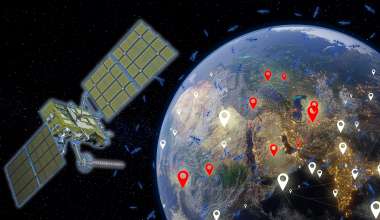
The USGS owns and operates the Landsat series of land remote-sensing satellites, a program that started in 1972. The Earth observation (EO) satellites operated by the USGS collect global imagery that is used internally by the USGS and freely distributed to other government agencies and the general public. Aerospace provides operational support to the two current Landsat satellites — Landsat 7 and Landsat 8.
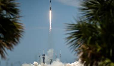
Landsat 9 is being built with NASA responsible for procurement of the space segment and the USGS responsible for development of the ground segment as well as flight operations.
USGS Team Plans Future Landsat Missions
Reilly and his USGS team are currently considering capability options for the future Landsat missions planned to be launched in the mid- to late-2020s. In the spirit of “One Aerospace,” the CSG USGS Aerospace team was aware of the work ETG’s Aerospace Economic and Market Analysis Center (EMAC) had performed for NSG to evaluate the commercial remote sensing (CRS) market, the CRS data analytics market, and economic levers (e.g., regulations, procurement strategies, technology investments, etc.) the government could potentially use to influence CRS data and analytics markets.
The Aerospace team briefed Reilly on the results of these studies, and he has requested follow-up EMAC briefings, which could influence future USGS strategy on obtaining Earth imaging data, whether through commercial data buys, USGS satellite systems, foreign EO systems, or a combination of all of them. Aerospace was already slated to assist the agency in planning for the continuation of the Landsat-based mission looking towards Landsat-10 and beyond.
This joint effort by Aerospace organizations demonstrated the strength of the corporation in providing support across the space enterprise, leveraging efforts for one customer to bring increased value to another.
Reilly holds a Ph.D. in geosciences from the University of Texas at Dallas and is a former astronaut who flew on three space shuttle missions and completed five space walks. The Aerospace Civil Systems Group’s Operational Programs Directorate supports USGS through the USGS and Landsat System Directorate. NSG’s Systems Engineering and Launch Division sponsored the CRS market analyses. EMAC performs technically informed economic, market, and individual business case analysis.